
FutureEO benefits series – Monitoring Earth’s frozen frontiers in a changing climate • Oct 2025
Launched over 25 years ago, the FutureEO programme is at the
core of the ESA Earth Observation activities. It pushes boundaries of Earth
observation, delivering excellence in science, technology innovation, preparing
for new operational missions and supporting scientists, policymakers, and
society with the knowledge needed to protect our planet’s future in the domain
of environment, climate change and sustainability.
From pioneering Earth Explorer missions to agile Scout
satellites and AI-powered data solutions, FutureEO is ESA’s commitment to
scientific excellence, societal resilience, and global cooperation.
FutureEO is structured around three defining pillars that
provide a streamlined and centralised framework for ESA’s Earth Observation
goals. They work together to ensure there is a smooth flow of information
between projects, connecting innovative ideas with scientific objectives to
inform and guide the development of missions from concept through to design and
realisation.
From pole to pole, ESA’s FutureEO
programme is transforming how we observe our planet’s frozen regions. By
combining cutting-edge satellite missions with decades of climate research,
FutureEO is revealing how ice, ocean, and land interact in a rapidly changing
world. The examples contained in this article, from monitoring thinning Arctic Sea
ice and thawing permafrost to uncovering hidden Antarctic lakes, are just the tip
of the iceberg. Behind them lies a much broader effort to understand,
predict, and adapt to the profound changes reshaping Earth’s cryosphere.
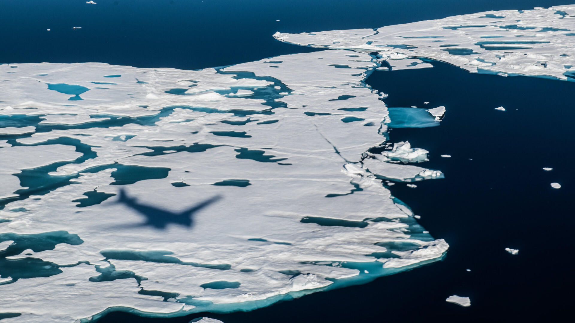
The Arctic is changing faster
than anywhere else on Earth. Since the early 1980s, this once-frozen frontier
has been warming at four times the global average, triggering dramatic
transformations across its icy landscapes. At the heart of this transformation
lies the rapid decline of sea ice; a thin yet vital barrier that regulates
the exchange of heat, moisture, and gases between the ocean and atmosphere.
But studying this fragile region has never been easy.
Covering up to 20 million square kilometres at its winter peak, the
Arctic’s remoteness and extreme conditions make direct observations difficult.
For decades, scientists relied mainly on surface measurements, which could only
capture the extent of sea ice and not its thickness, which is key
to understanding how the Arctic truly functions as Earth’s climate regulator.
That changed with the launch of the European Space
Agency’s CryoSat-2 mission. Under ESA’s FutureEO programme, which
pioneers next-generation Earth observation missions, CryoSat-2 was designed to
do something no other satellite could by offering unprecedented coverage of the
Arctic, including detailed measurements of ice thickness using a novel radar
altimeter system.
Working in tandem with SMOS (Soil Moisture and Ocean
Salinity), another FutureEO mission that measures thin sea ice and ocean
salinity, CryoSat-2 has revolutionized our ability to monitor polar regions. Over
the past decade, data from these satellites has shown a significant thinning
in multi-year ice across the western Arctic, with some regions losing
thickness at rates of up to 1.5 meters per decade.
The insights gained from these ESA’s science missions have fundamentally
reshaped our understanding of the Arctic’s role in global climate systems and are
helping scientists anticipate major tipping points, including the possibility
of a future “Blue Ocean” event, when the Arctic Ocean could become ice-free,
profoundly altering global climate patterns and impacting industries like
shipping and fishing.
ESA’s Earth observation satellites’ monitoring extends far
beyond sea ice. ESA’s Climate Change Initiative (CCI), a cornerstone of the
programme, harnesses decades of satellite observations to build comprehensive,
long-term climate data records. One of its key projects, Permafrost CCI,
focusses on monitoring the Arctic’s frozen ground, which stores vast amounts of
carbon. By 2100, 21% of Arctic permafrost settlements may face
erosion damage, 45% affected by sea level rise, and 77% may sit on unstable,
crumbling and subsiding ground (1). Through 20 years of satellite data,
ESA’s Earth Observation technologies allow for the tracking of changes in temperature,
carbon cycling, ecosystems, active layer thickness, and coastal erosion,
which are essential parameters for assessing permafrost stability. These
insights empower policymakers and communities to plan climate adaptation
strategies, protect infrastructure, and manage environmental risks associated
with permafrost thaw and greenhouse gas release.
But the story of frozen Earth
doesn’t end with the Arctic. Deep beneath Antarctica, a new threat is emerging
that underscores the complexity and interconnectedness of the cryosphere.
Recent research using CryoSat data has revealed that hidden subglacial lakes
can suddenly drain into the ocean, destabilizing ice shelves and accelerating
ice-sheet loss.
In one striking case back in
2013, seven subglacial lakes, that were more
than 2 km beneath Thwaites Glacier, all suddenly drained at the same time
(2). They released around 7 cubic kilometres of freshwater into the
Amundsen Sea. Following this event, scientists observed a doubling of melt
rates at the Thwaites ice shelves, along with significant ice thinning and
retreat of grounding lines (the boundary where ice transitions from grounded
glacier to floating shelf). These discoveries highlight that Antarctica’s
“plumbing system”, the network of hidden water channels beneath its ice, plays
a far greater role in ice-sheet stability than previously thought. Until
satellites like CryoSat provided precise elevation measurements, such changes
were impossible to detect.
ESA’s FutureEO programme
continues to push the boundaries of climate science, from the Arctic’s
shrinking ice to the hidden lakes beneath the Antarctic Ice Sheet that threaten
its stability. As our planet warms, the need for reliable, long-term climate
data has never been greater. Through innovative technology, global collaboration,
and a commitment to open science, ESA’s FutureEO programme is ensuring that we
not only observe the changing Earth, but understand and adapt to it.
References
(1) Tanguy, R. et al. (2024) ‘Pan‐Arctic assessment of coastal settlements and infrastructure vulnerable to coastal erosion, sea‐level rise, and permafrost thaw’, Earth’s Future, 12(12). doi:10.1029/2024ef005013.
(2) Gourmelen, N., Jakob, L., Holland, P.R. et al. The influence of subglacial lake discharge on Thwaites Glacier ice-shelf melting and grounding-line retreat. Nat Commun 16, 2271 (2025). https://doi.org/10.1038/s41467-025-57417-1
More articles of the category: ESA Benefit Case Studies
FutureEO benefits series – Empowering farmers, policymakers,...
FutureEO benefits series – Benefiting from AI on-board data...
FutureEO benefits series – Enhancing Europe’s strategic auto...
FutureEO benefits series – Measuring Earth from space with a...
FutureEO benefits series – Improving weather forecasting wit...
FutureEO benefits series – Pioneering Earth observation for...