
FutureEO benefits series – Empowering farmers, policymakers, and researchers in transforming agriculture • Oct 2025
Launched over 25 years ago, the FutureEO programme is at the
core of the ESA Earth Observation activities. It pushes boundaries of Earth
observation, delivering excellence in science, technology innovation, preparing
for new operational missions and supporting scientists, policymakers, and
society with the knowledge needed to protect our planet’s future in the domain
of environment, climate change and sustainability.
From pioneering Earth Explorer missions to agile Scout
satellites and AI-powered data solutions, FutureEO is ESA’s commitment to
scientific excellence, societal resilience, and global cooperation.
FutureEO is structured around three defining pillars that
provide a streamlined and centralised framework for ESA’s Earth Observation
goals. They work together to ensure there is a smooth flow of information
between projects, connecting innovative ideas with scientific objectives to
inform and guide the development of missions from concept through to design and
realisation.
As of 2023, global agricultural
land covered approximately 4.8 billion hectares, over one-third of the Earth’s
land area, including 1.6 billion hectares of cropland and 3.2 billion hectares
of permanent meadows and pastures (1). Between 2001 and 2023, cropland per
person fell by 20% (from 0.24 to 0.19 hectares per capita), while land
productivity rose over 60%, from USD 550 to nearly USD 900 per hectare (1).
Agriculture’s economic contribution is substantial: in 2023, global
agricultural value added increased 2.6%, from USD 3.9 trillion to USD 4.0
trillion, while global GDP grew 2.8%, reaching USD 92.6 trillion (2).
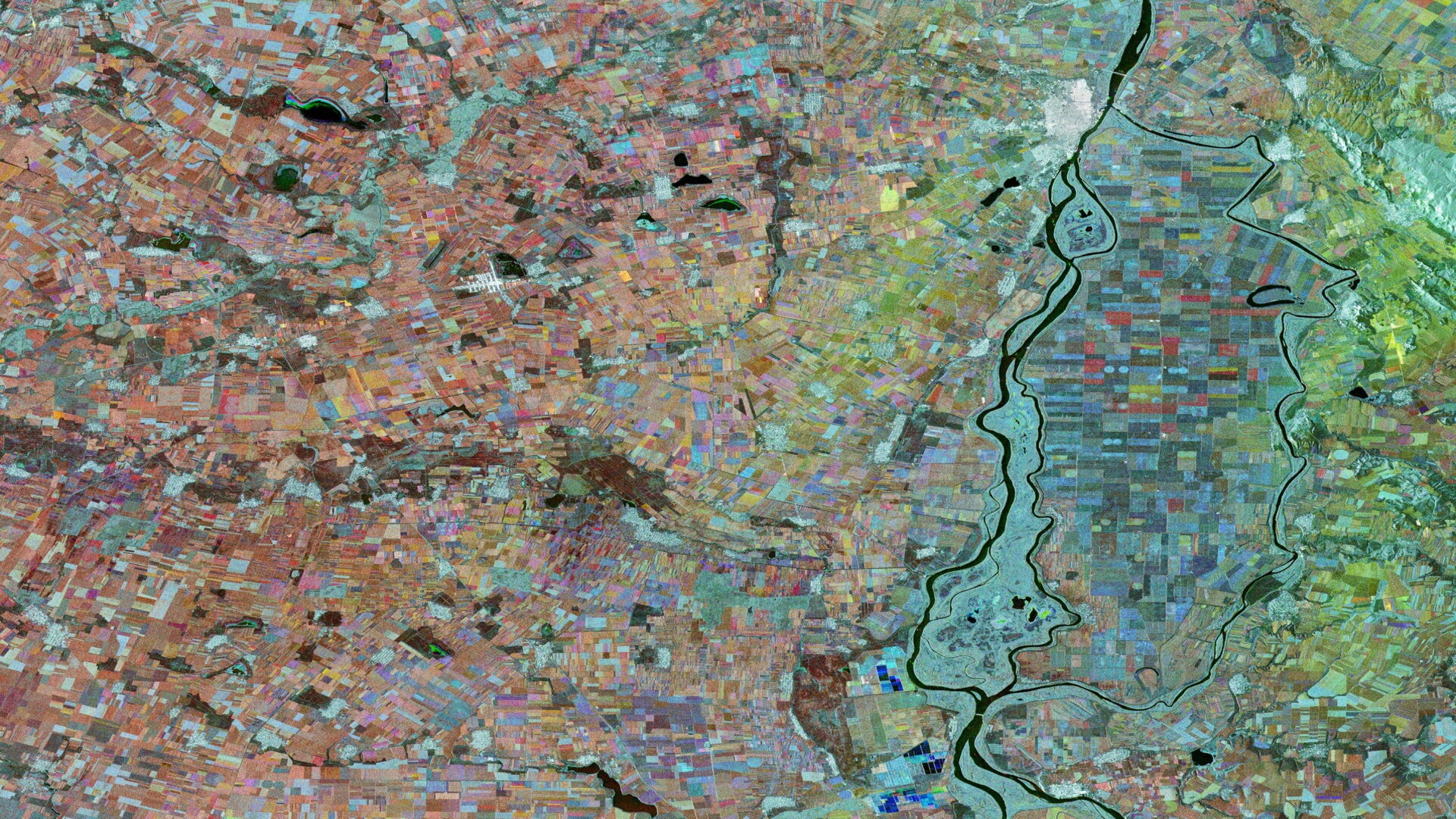
ESA’s Earth observation missions, particularly the Sentinel
series and FutureEO’s Earth Explorer missions include SMOS, BIOMASS, and the
upcoming FLEX mission, provide critical data on crop health, soil moisture,
vegetation, and land use to support sustainable agriculture and precision
farming.
Through several FutureEO Earth Action projects, ESA is
revolutionising global agriculture by harnessing satellite data to deliver
open, accessible, and timely insights. The WorldCereal project provides a tool
to assess crop types and conditions, and generate crop maps for users. Powered
by advanced remote sensing and open-source tech, it supports informed
decision-making for farmers, policymakers, and researchers at global scale,
hence impacting food security, resource use, and even markets. As of February 2025,
the WorldCereal 2021 products consisting of global-scale annual and seasonal
crop maps have been downloaded more than 4200 times and there were more than
100 scientific publications referencing the project. In parallel, the Global
Development Assistance (GDA) Agriculture project supports international
financial institutions (IFIs) and their client States by delivering satellite
services for monitoring agricultural activities at various scales for
sustainable food production, risk management, and climate resilience. These
services assist in assessing food production, improving water management, and
evaluating climate impact on agriculture.
By providing accurate, timely, and globally consistent
agricultural data, ESA is helping build more resilient food systems and a
sustainable future for communities worldwide.
(1) Land
statistics 2001–2023. Global, regional and country trends
(2) Gross
domestic product and agriculture value added 2014–2023.
More articles of the category: ESA Benefit Case Studies
FutureEO benefits series – Monitoring Earth’s frozen frontie...
FutureEO benefits series – Benefiting from AI on-board data...
FutureEO benefits series – Enhancing Europe’s strategic auto...
FutureEO benefits series – Measuring Earth from space with a...
FutureEO benefits series – Improving weather forecasting wit...
FutureEO benefits series – Pioneering Earth observation for...